
The HydroMap Network
A live dashboard for the water you care about.
11 lakes and reservoirs, each with its own Data Watch — today's level against the record, the official forecasts, which ramps still reach water, and an assistant that answers from the live numbers on the page. Free, no login, updated every day from public agency data.
Built by HydroMap LLC — water resources engineering and software since 2002.
Anatomy of a Data Watch
Every Data Watch is built the same way.
Pick any lake in the network and you'll find the same six things in the same order — the number, the explanation, the map, the record, the outlook, and the receipts. Learn to read one and you can read all of them.
- 1
The headline, and any alarm worth raising
Today's level, the 7- and 30-day change, and the gage and date it came from. When something is genuinely happening — a new record low, a level below the healthy range — a banner says so above everything else.
- 2
This week, in plain language
A dated summary of what the data and the news actually say, written from the live numbers on the page, with the news linked inline and marked clearly as not official guidance.
- 3
Live conditions
A basin map of streamgages and reservoirs you can click for their own data, a depth explorer that redraws the shoreline at any elevation, and the weather marina by marina.
- 4
The whole record
Not the last few months — everything. Lake Mead's chart carries 33,428 daily values back to 1935, with full pool, the shortage tiers, and the record lows drawn in so today has something to sit against.
- 5
Inflows and outlook
The rivers that actually move the level, with the official NWS forecasts where they're issued, plus the agency's own projection and the date the lake crosses each threshold.
- 6
Who watches it, and every source
The agencies whose data and work show up on the page, a source list where each number traces back to a public link, and a citation ready to paste into a paper.
Ask the Data Watch
The part most people miss: you can just ask.
Every Data Watch has an assistant sitting on top of it that answers from the live data on that page — and only from that page. It reads the same charts you're looking at, works the arithmetic out against today's numbers, and tells you when the answer is an estimate and who the official word belongs to.
It won't tell you what it can't see. And if the page is missing something you needed, the chat forwards your request straight to the people who build it.
Ask the Data Watch
grounded AI · answers only from this page
Which boat ramps can I still launch from?
At today's lake level (1,040.1 ft), here is the current status of Lake Mead's boat ramps:
Open
- Hemenway Harbor (Boulder Basin, NV) — main Las Vegas-side launch
- Callville Bay (Northwest Boulder Basin, NV)
- Temple Bar (Virgin Basin, AZ) — main launch on the Arizona side
Limited access
- South Cove (Gregg Basin, AZ) — the concrete ramp is completely out of the water; primitive launching only
Check before you go
- Echo Bay (Overton Arm, NV) — access fluctuates with water levels; confirm with the Park Service before towing out
The HydroMap Network
Focused live dashboards for the waters people care about.
The engine behind HydroMap Explorer powers a Data Watch for individual lakes — from Utah's inland sea to the two lowest lakes on Earth. Every one is free, updates itself from official public data, and answers questions with an AI grounded only in the numbers on the page.
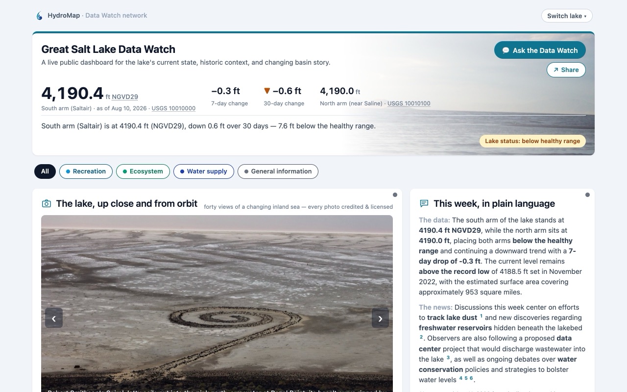
Great Salt Lake
UtahBoth arms against the state's healthy range, the daily record back to 1847, and Landsat then-and-now extent.
Open the Data Watch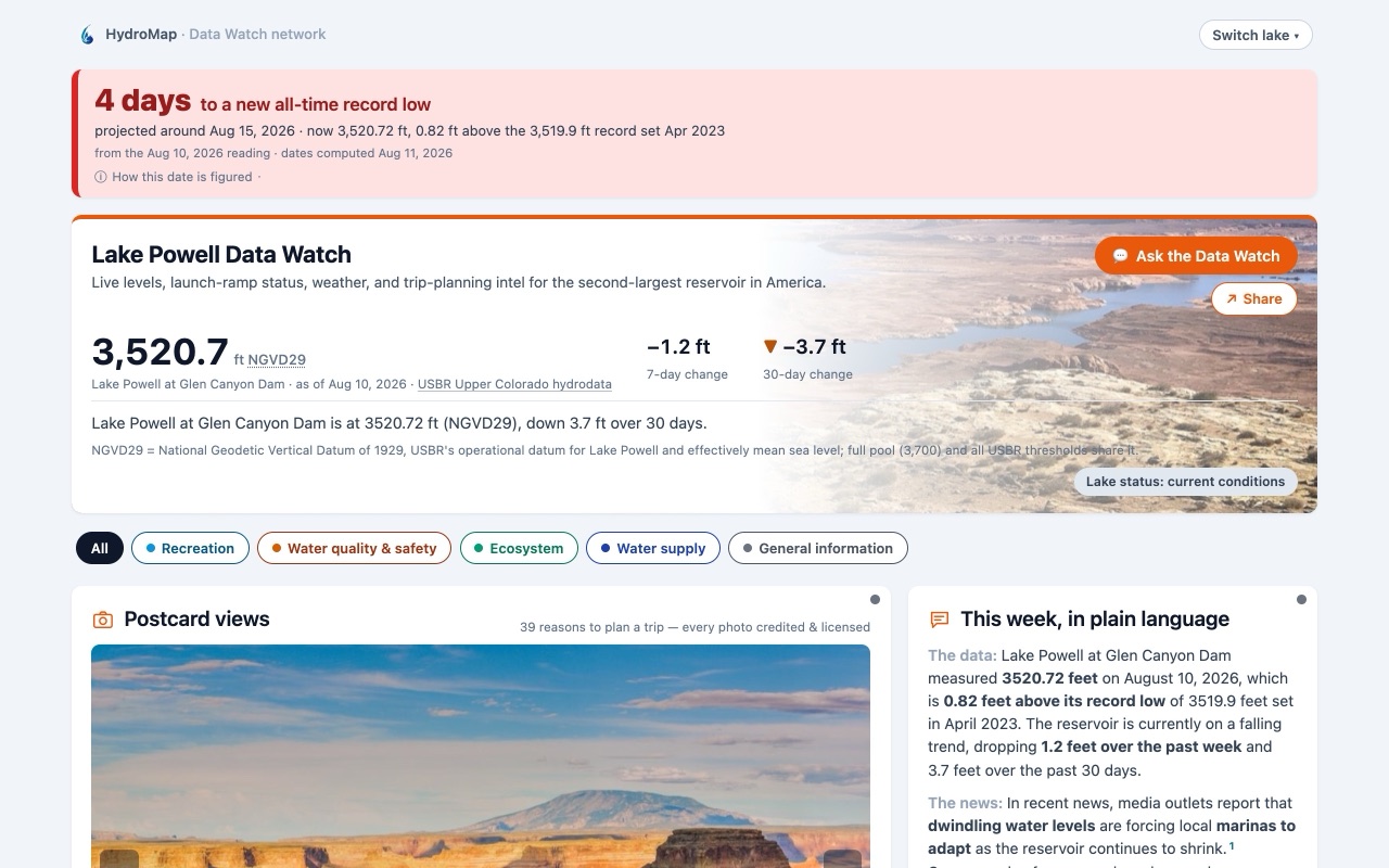
Lake Powell
Utah · ArizonaLive level against the power pool, every launch ramp's status computed from today's water, and the 24-month outlook.
Open the Data Watch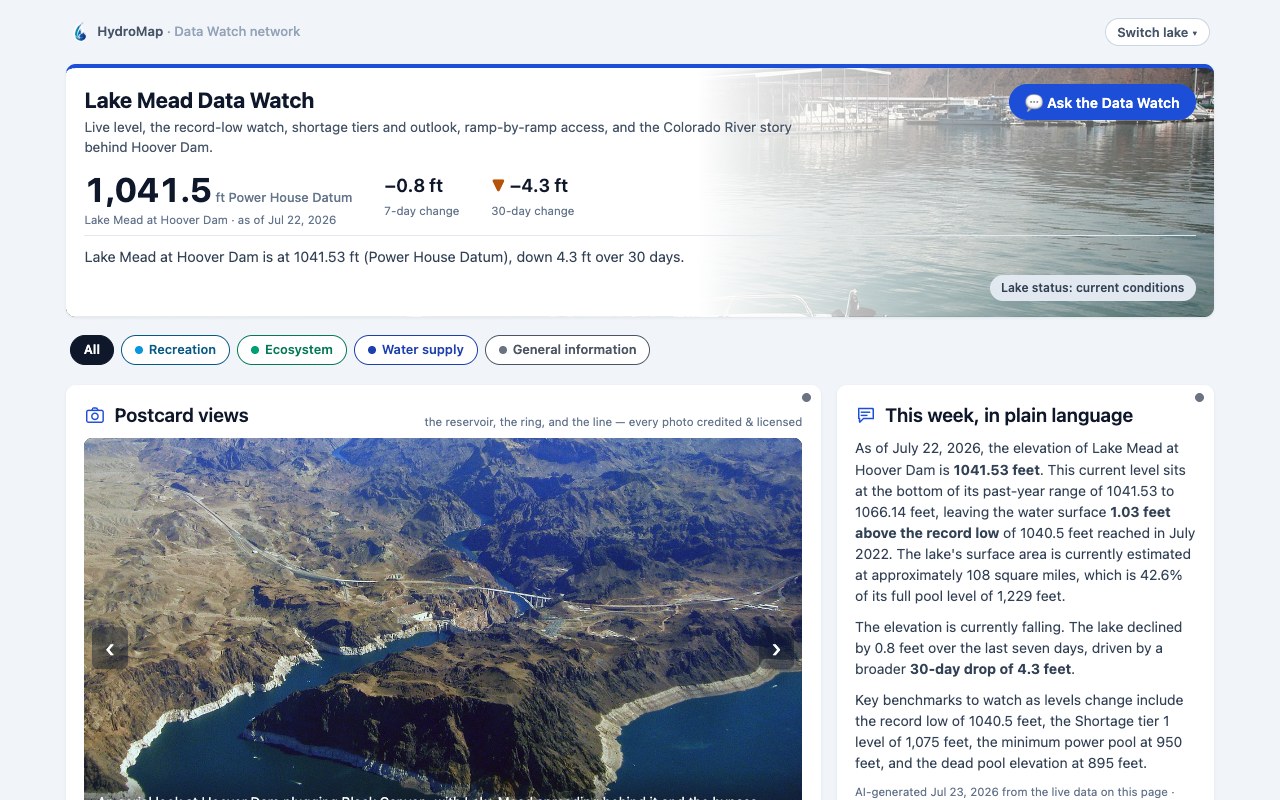
Lake Mead
Nevada · ArizonaThe largest reservoir in the U.S. — level against the shortage tiers, ramp-by-ramp access, and the Colorado River behind Hoover Dam.
Open the Data Watch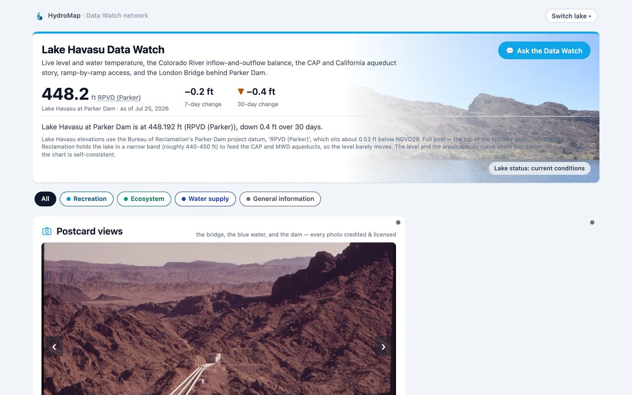
Lake Havasu
Arizona · CaliforniaThe Colorado's aqueduct lake behind Parker Dam, held near full pool — level, water temperature, and ramp access.
Open the Data Watch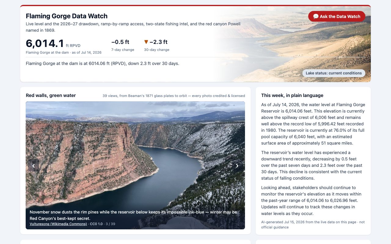
Flaming Gorge
Utah · WyomingLive level and the 2026–27 drawdown to Lake Powell, plus every boat ramp against its surveyed cutoff.
Open the Data Watch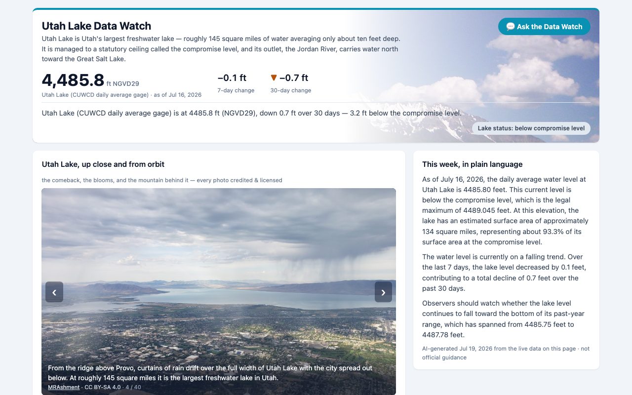
Utah Lake
UtahThe one that answers “can I swim today?” — official DEQ algae advisories beach by beach, against the compromise level.
Open the Data Watch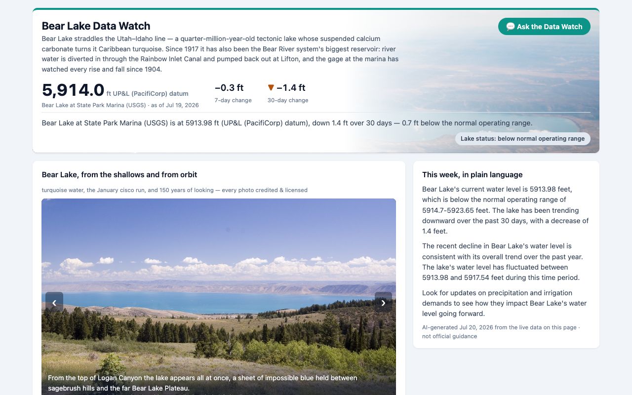
Bear Lake
Utah · IdahoThe Caribbean of the Rockies on a 122-year daily record — level, canal plumbing, and beach-by-beach advisories.
Open the Data Watch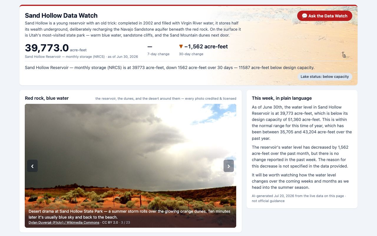
Sand Hollow
UtahUtah's most-visited state park, tracked by monthly storage against capacity, with swim advisories and Virgin River flows.
Open the Data Watch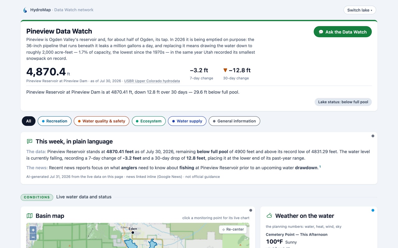
Pineview
UtahOgden Valley's reservoir, emptied on purpose in 2026 to replace the pipeline beneath it — level against the drawdown plan.
Open the Data Watch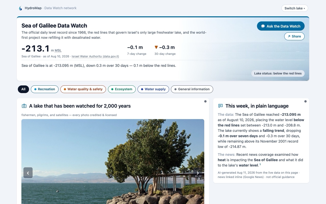
Sea of Galilee
IsraelThe Kinneret's daily level against Israel's statutory red lines since 1966, and the world-first desalinated refill.
Open the Data Watch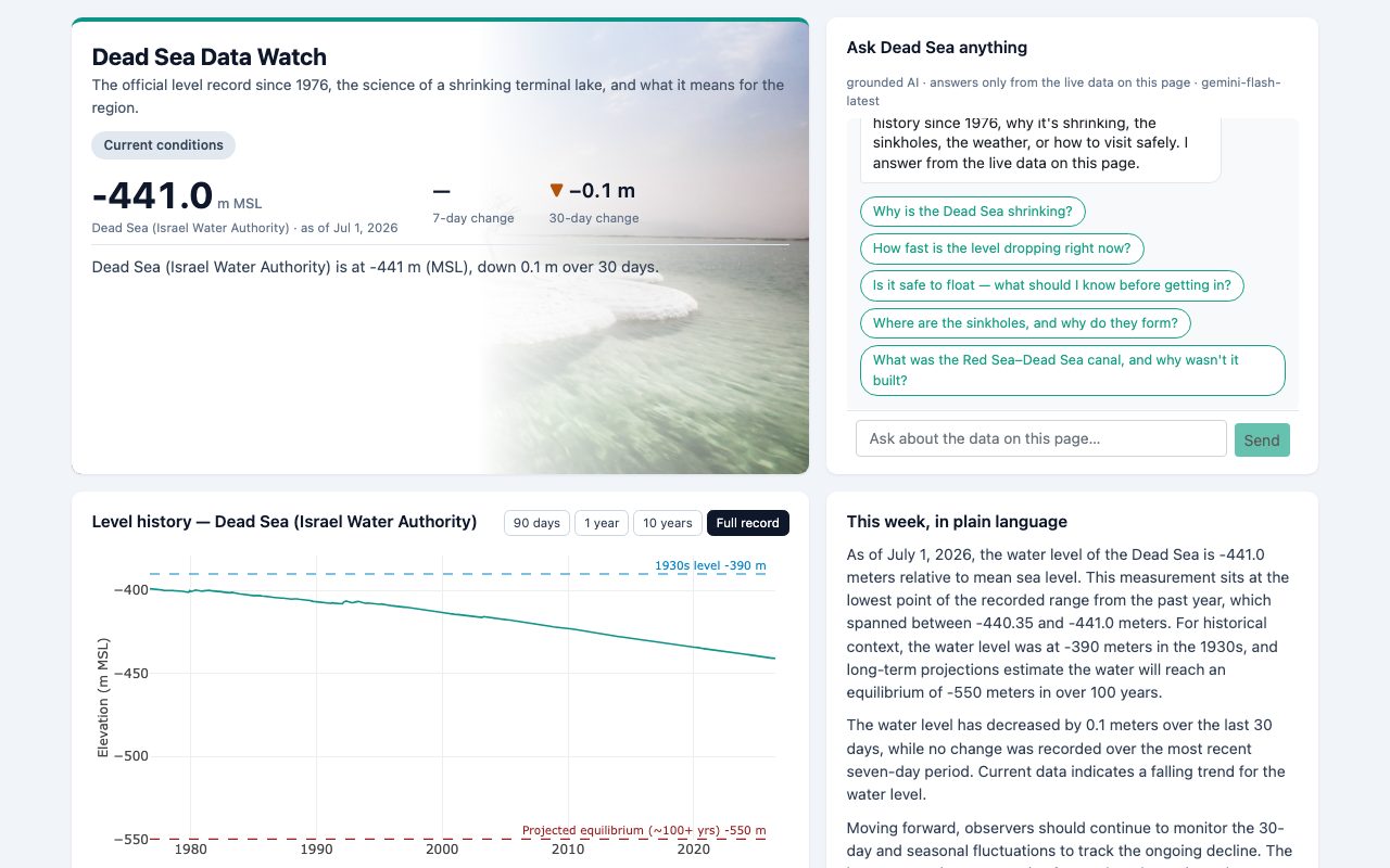
Dead Sea
Israel · JordanThe official record of the lowest place on Earth since 1976 — a meter lost every year, with the sinkhole story.
Open the Data WatchMore waters are on the way. Want a Data Watch for your lake? Talk to us.
Live now · free to use
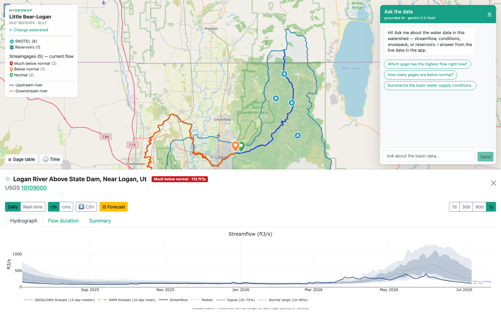
HydroMap Explorer — every U.S. watershed, one click away.
Our flagship web app puts live water data on an interactive national map. Click any HUC-8 watershed to see USGS streamgages color-coded by flow condition, SNOTEL snowpack, and reservoirs — with National Water Model and GEOGLOWS forecasts drawn on every hydrograph, and an AI assistant that answers questions from the live data on screen.
Trusted collaborators over two decades




Who builds this
The Data Watches are one thing HydroMap does.
The same team builds water models, hydrologic data systems, and GIS software for agencies, utilities, and universities — and has since 2002. RIVR, our National Water Model mobile app, and expert-witness work in software and hydrology cases come out of the same practice.
Have a water data or software challenge?
We take on a limited number of engagements each year. Tell us what you're working on — we'll tell you whether we're a good fit.